

Your car's GPS tracker isn't only talking to "GPS." Most of the time it's pulling signals from three or four separate satellite networks at once, blending GPS, GLONASS, and Galileo together to lock onto exactly where your car or truck is parked.
That matters more than it sounds. The more satellites a tracker can see, the faster and steadier its fix, especially when your vehicle is boxed in by a parking garage, tucked under a carport, or sitting on a downtown block between tall buildings.
GPS, GLONASS, and Galileo are three separate satellite navigation systems, built by three different governments, that all do the same basic job. GPS (United States) has the widest support and the longest track record. GLONASS (Russia) adds extra coverage at high latitudes. Galileo (European Union) currently offers the tightest civilian accuracy. Most trackers, including the one on your car, don't pick just one. They combine all three, and often a fourth, China's BeiDou, for a faster and more reliable fix than any single system delivers alone.
What Is GNSS, and Where Do GPS, GLONASS, and Galileo Fit In?

GNSS, short for Global Navigation Satellite System, is the umbrella term for every satellite network that broadcasts positioning signals down to Earth. GPS, GLONASS, and Galileo are each one GNSS. So are China's BeiDou, India's NavIC, and Japan's QZSS, though those last two mostly cover their home regions rather than the whole planet.
Each system was built independently, by a different government, for its own strategic reasons. GPS came first, developed by the U.S. Department of Defense and opened up for civilian use through the 1980s and 90s. GLONASS is Russia's answer, started during the Cold War for the same underlying reason: no country wants to depend entirely on another country's satellites for navigation. Galileo is the European Union's civilian-first system, designed decades later with newer hardware and no military origin story.
None of them were built to work alone in a consumer receiver. They were built to work, which is a different thing, and today's phones, cars, and trackers almost always use more than one at the same time. More on why in a minute.
GPS: The System Every Tracker Starts With
How GPS actually works
GPS, officially the NAVSTAR Global Positioning System, is operated today by the U.S. Space Force. It runs on roughly 31 to 32 satellites spread across six orbital planes, so at least four are visible from nearly any point on Earth at any moment, the minimum a receiver needs to calculate a full 3D position. GPS reached full global operational capability back in 1995 and remains the most widely supported satellite system in consumer electronics, from phones to cars to GPS trackers.
GPS accuracy in the real world
Published figures vary a bit by source and test conditions, but standard civilian GPS typically lands somewhere around 10 to 16 feet (3 to 5 meters) under open sky. That's plenty for knowing which street your car is on. It gets less plenty inside a parking structure, under heavy tree cover, or between tall buildings, where signals get blocked or bounce off surfaces, which is exactly the scenario multi-constellation receivers were built to handle.
GLONASS: Russia's Global Network
Where GLONASS came from
GLONASS (Globalnaya Navigazionnaya Sputnikovaya Sistema, Russian for Global Navigation Satellite System) has been developed and operated by Russia's space program since the late 1970s. Funding gaps in the 1990s left the constellation incomplete for a stretch, but it was rebuilt and modernized, and today it runs a full 24-satellite constellation spread across three orbital planes.
Why GLONASS matters at high latitudes
GLONASS satellites orbit at a steeper angle, about 64.8 degrees, compared to GPS's roughly 55 degrees. That steeper angle puts more satellites higher in the sky over the far north and south, which is why GLONASS tends to perform relatively better than GPS alone in places like Alaska, northern Canada, and Scandinavia. Across most of the continental U.S., GPS alone is typically the slightly more precise of the two, but the gap narrows once a receiver uses them together.
One technical quirk worth knowing: older GLONASS satellites broadcast on a different signal format (FDMA) than GPS, GLONASS's own newer satellites, Galileo, and BeiDou, which all use CDMA. That's part of why a receiver's chip has to be built to handle both formats, and why GLONASS is gradually shifting its newer satellites over to CDMA as well.
Galileo: Europe's High-Precision Newcomer
Galileo is the European Union's satellite system, developed by the European Space Agency and designed from day one for civilian and commercial use rather than military use first. It reached initial services around 2016 and has kept expanding since, with a current constellation of roughly 24 to 30 operational satellites.
Galileo's headline feature is accuracy. Its free High Accuracy Service can deliver positioning down to roughly 20 centimeters (about 8 inches) in good conditions, tighter than standard civilian GPS, which typically runs in the meter range. Galileo also broadcasts on some of the same frequency bands as GPS and BeiDou, by design, which is exactly what lets one receiver chip track multiple systems at once instead of needing separate hardware for each.
| System | Operator | Satellites | Typical civilian accuracy | Signal type | Strongest at |
|---|---|---|---|---|---|
| GPS | U.S. Space Force | ~31–32 | ~10–16 ft (3–5 m) | CDMA | Global baseline, widest device support |
| GLONASS | Roscosmos (Russia) | 24 | ~16–33 ft (5–10 m) | FDMA (legacy), shifting to CDMA | High latitudes: Alaska, Canada, Scandinavia |
| Galileo | European Space Agency | ~24–30 | ~3 ft (1 m), down to ~8 in (20 cm) with HAS | CDMA | Tightest civilian accuracy, dense urban areas |
Accuracy figures are typical ranges reported across GPS.gov, the European GNSS Service Centre, and independent GNSS testing, not a guarantee for any single device or location.
So which system is actually "best"?
None of them, used alone, and that's kind of the point. GPS has the deepest global support. GLONASS covers the poles better. Galileo edges out both on raw civilian accuracy. Each was built by a different government to serve its own citizens and its own independence, not to compete head-to-head for your car's tracker. The real answer for anyone tracking a vehicle, not designing a satellite, is simple: use a receiver that pulls from all of them.
Why Your Car's Tracker Doesn't Pick Just One
Modern GNSS chips, the kind found in phones and vehicle trackers alike, are built to track multiple constellations at the same time, not choose between them. There are two reasons that matters in the real world.
The first is satellite geometry. Engineers call this Dilution of Precision, or DOP: the tighter and more evenly a receiver's visible satellites are spread across the sky, the more accurate the fix. A single constellation can cluster in one part of the sky depending on the time of day and your location. Add a second and third constellation, and the gaps fill in.
The second is plain availability, especially in the places your car actually sits. Picture a downtown parking garage where 8 GPS satellites are technically overhead, but 3 are blocked by concrete and steel, leaving 5 usable. Add 6 visible GLONASS satellites (2 blocked) and 5 Galileo satellites (1 blocked), and that same spot now has 13 usable satellites instead of 5. That's the practical difference between a tracker that finds your car in a few seconds and one that struggles.
This is exactly the approach vehicle trackers like ShadowAuto and ShadowTrack are built around: a multi-constellation GNSS receiver, not a GPS-only one, so your car's location comes from whichever mix of satellites is actually overhead, not from a single network that might be partly blocked.
ShadowAuto plugs into your car or truck's OBD-II port in under two minutes, no wiring and no separate power source, and runs off the vehicle's own electrical system for as long as it's plugged in.
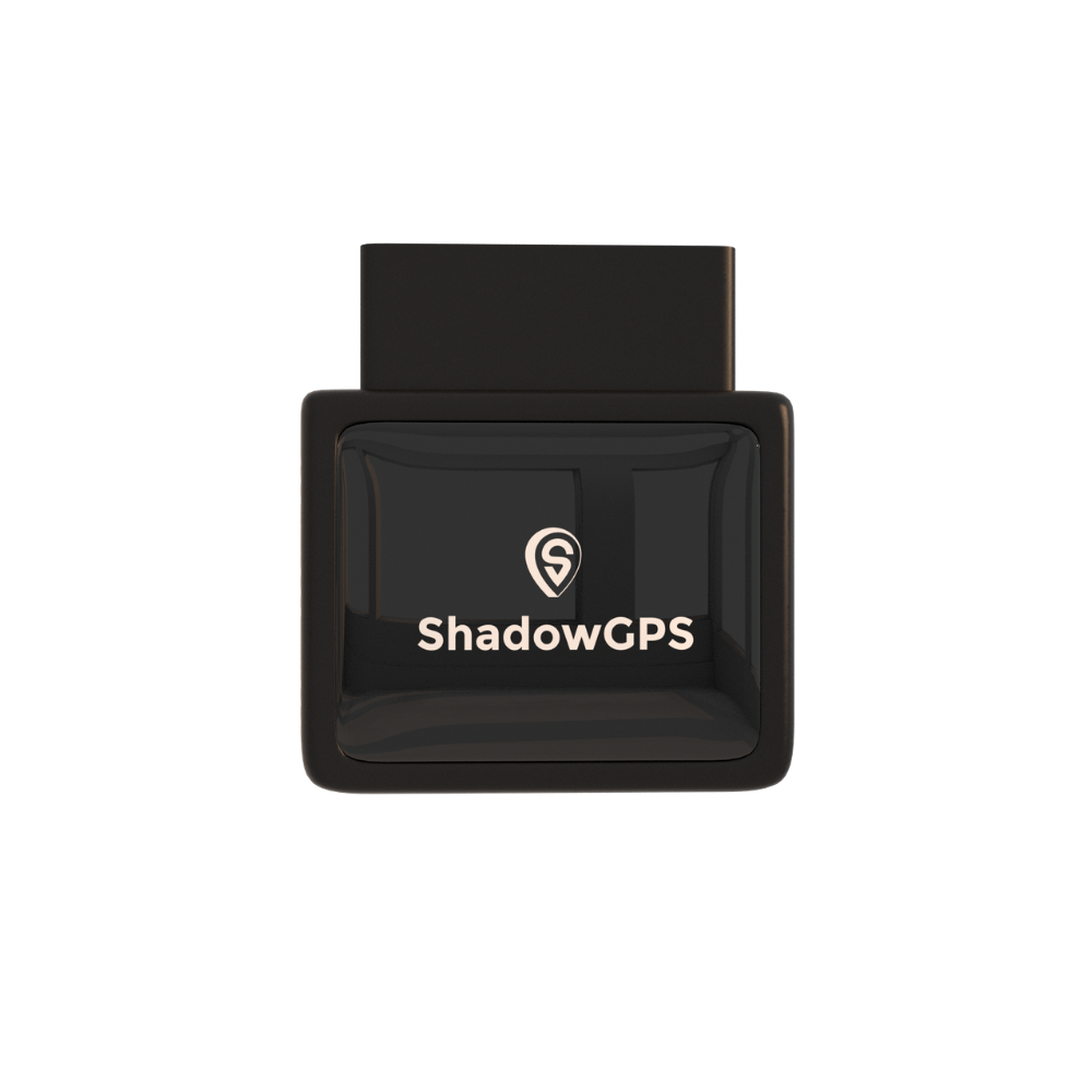
ShadowAuto
- Updates every 5 seconds while moving
- Trip timeline & trip replay
- Car Alarm & vehicle diagnostics


ShadowTrack skips the OBD-II port entirely. It's a rechargeable, weatherproof tracker you can magnet-mount out of sight on a trailer, a piece of equipment, or a second vehicle without an accessible port, and it runs about 15 days on a single charge.
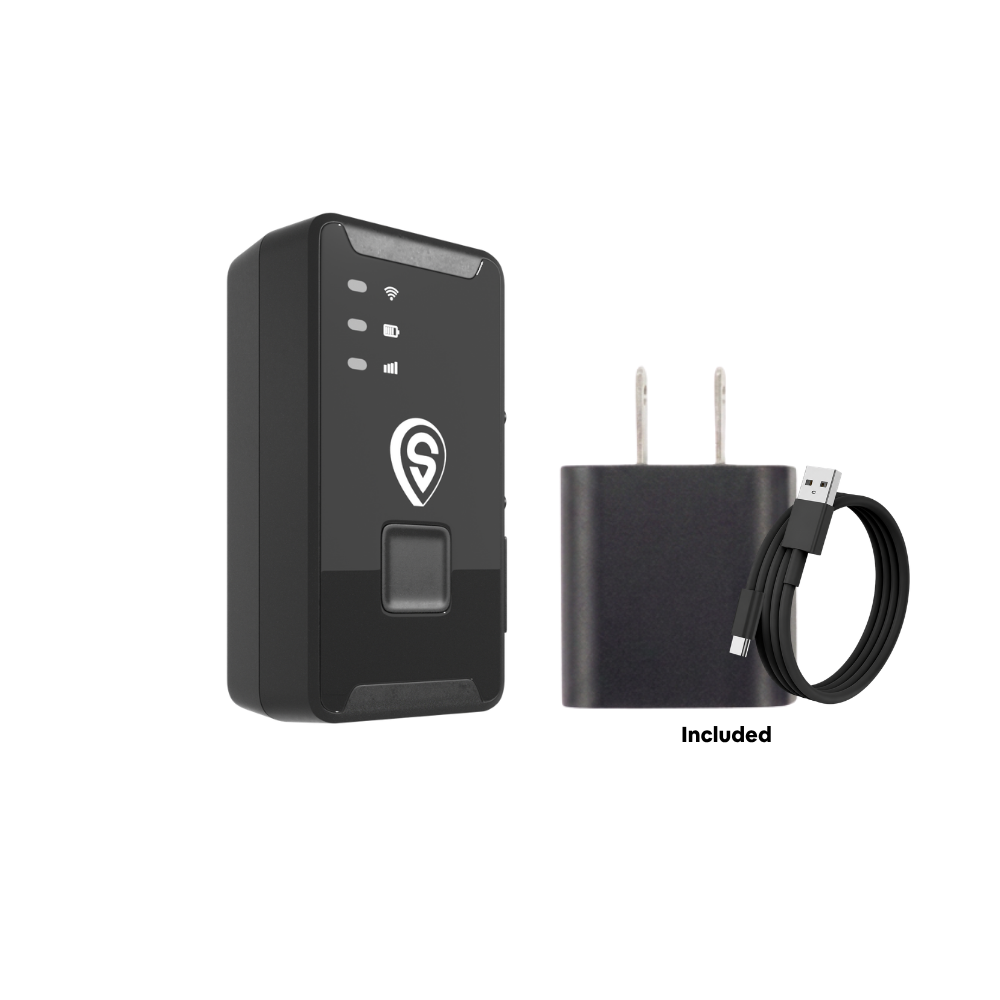
ShadowTrack
- Updates every 5 seconds while moving
- Weatherproof, magnetic mount
- Up to ~15 days per charge
What This Actually Means When You Check Your Car's Location
Why your tracker's dot sometimes lags or jumps
This is almost never a satellite-system problem specifically. It's usually about line of sight. Parking garages, tunnels, dense tree cover, and tall buildings either block signals outright or bounce them off surfaces before they reach the receiver, a distortion called multipath interference. A multi-constellation receiver recovers from this faster than a GPS-only one, because it has more satellites to lean on while some are blocked.
Once your car has a clear enough view of the sky again, the tracker re-acquires signal and catches up quickly. Once ShadowAuto or ShadowTrack has a fix, it reports your car's position every 5 seconds while moving, one of the fastest standard refresh rates available, so any gap closes fast. For the deeper mechanics of how that fix turns into a live dot on your phone, see our guide on how real-time GPS tracking works for vehicles.
Do you pay more for a tracker that uses GLONASS and Galileo?
No. Multi-constellation support is built into the tracker's hardware, not sold as an upgrade. ShadowAuto and ShadowTrack run $12 to $15 a month, no contract, ever, whether your car's fix that moment came from GPS, GLONASS, Galileo, or all three at once.
Parent tracking a teen driver
A steady fix in mall parking garages and school pickup lines, not just open roads, so you're not left guessing between updates.
Turo host
Reliable location for a rental parked near an airport garage or a dense downtown block, exactly where a single-system tracker is most likely to lose its lock.
Small fleet owner-operator
Consistent coverage across 2 to 5+ vehicles running mixed routes, from wide-open highways to tight urban delivery stops. See our guide to choosing a GPS tracker for a small fleet.
Frequently Asked Questions
Is GLONASS more accurate than GPS?
Not usually. Across most of the continental U.S., GPS alone is slightly more precise than GLONASS alone, but GLONASS closes the gap and can pull ahead in far-northern regions like Alaska because of its satellites' steeper orbital angle. In practice, your tracker blends both anyway, so this rarely matters day to day.
What's the actual difference between GPS and GLONASS?
GPS is the U.S.-operated network with roughly 31 to 32 satellites. GLONASS is Russia's equivalent, with 24. They also use different signal formats (GPS uses CDMA; GLONASS still partly relies on the older FDMA format) and different orbital angles, which is why GLONASS performs relatively better near the poles. Functionally, both do the same job: give a receiver enough signals to calculate a position.
Is Galileo better than GPS?
On raw civilian accuracy, yes. Galileo's free High Accuracy Service can deliver positioning down to roughly 20 centimeters in good conditions, tighter than standard civilian GPS. In everyday tracking, though, a receiver that combines GPS, GLONASS, and Galileo together outperforms any one of them used alone.
Do car GPS trackers actually use GLONASS and Galileo, or just GPS?
Modern vehicle trackers, plug-in OBD-II models and battery-powered ones alike, are almost never GPS-only anymore. They use a multi-constellation GNSS receiver that pulls from GPS, GLONASS, and Galileo (often BeiDou too), because more visible satellites means a faster, steadier fix, especially with a partial view of the sky.
Why does my GPS tracker sometimes show the wrong location or lag behind?
This is almost always about line of sight, not the satellite system itself. Parking garages, tunnels, dense tree cover, and tall buildings can block or bounce satellite signals, delaying a fresh fix. Once your car has a clear enough view of the sky again, the tracker re-acquires signal and catches up.
Do I pay extra for a tracker that supports GLONASS or Galileo?
No. Multi-constellation support is built into the tracker's hardware, not an add-on plan. ShadowAuto and ShadowTrack run $12 to $15 a month, no contract, ever, regardless of which satellites your car happens to be pulling a signal from that day.
Is GLONASS still active in 2026?
Yes. GLONASS has been maintained and modernized by Russia's space program since the 1990s and remains a full, operational constellation of 24 satellites, used alongside GPS and Galileo in most modern receivers.
What satellite system does the U.S. actually run?
GPS. It's officially the NAVSTAR Global Positioning System, developed by the U.S. Department of Defense and operated today by the U.S. Space Force. It reached full global coverage in 1995 and remains the most widely supported satellite navigation system in consumer devices worldwide.
Know where it is. Every 5 seconds.
Plug it in, see it move, cancel any time. No contract, ever.
This guide reflects satellite system specifications and accuracy data published as of September 2026. Positioning technology and figures are subject to change as each system is modernized.

